Paying the Way: Chirk’s Turnpike Stones and the Road That Made the Village

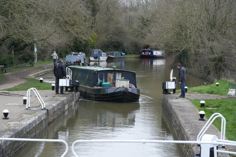
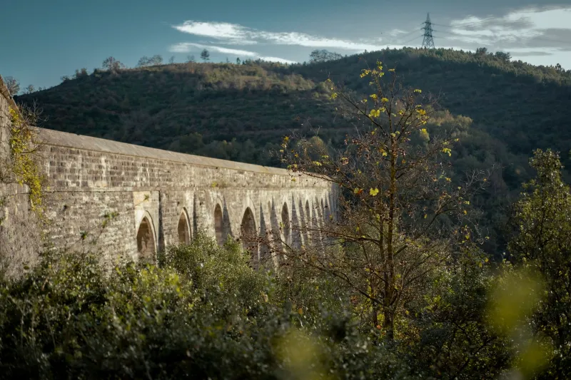
Chirk is easy to file under castle and canal. The big grey bridge, the dark water, the towpath and the deer park do most of the work in the village’s postcard imagination. But there is another line through Chirk, older and noisier, and it is still there under your feet: the road. This is a short walk for anyone who likes their history at the roadside, with one eye on the traffic and the other on the stones.
The road before the road
Before the railway and before the canal, Chirk sat where routes met. Welsh hills to the west, English lowlands to the east, and a border running through the middle of the conversation. A turnpike was simply a road managed by a trust that charged users at a gate. The money paid for upkeep, and the gate made sure the people using the road were the people paying for it. Coaches, horses, cattle, sheep, carts and pedestrians all had their own tolls, and the toll board was a small lesson in local economics.
By the early nineteenth century the London to Holyhead road mattered enormously. Thomas Telford was given the job of improving it, and his crews rebuilt stretches of road, bridges and walls with an eye to fast mail coaches and heavy freight. Chirk was not just a place the road passed through. It was a place where the road paused, changed horses, took on water, paid a toll and carried on. The milestones and gate sites left behind are the receipts.
The walk: an out-and-back, not a loop
Start in Chirk village centre and head east along the old Holyhead Road, now the A5, towards the English border and Gobowen. This is a short out-and-back of roughly two miles in total, depending on where you turn. It is flat, it is quick, and it is not a countryside ramble. The A5 is a working road. Use the footway where it exists, keep to the verge where it does not, wear something bright in winter, and cross only where you can see and be seen. Better still, do it in daylight and avoid the busiest times.
The point is not to march to a destination. The point is to read the road. Walk for ten minutes, stop, look back, look forward, and notice how the road behaves. Old turnpikes often reveal themselves in small things: a wall that runs at a slightly odd angle, a wide verge where a toll gate once stood, a cottage sitting too close to the carriageway, a stone that has been knocked about for two centuries.
If you want to extend the day, the canal towpath can bring you back into the village from the Chirk Bank side, but keep the roadside section separate and safe. This is a walk for a dry, bright morning, not a dusk expedition.
What to look for: milestones
The best-known survivors are milestones. Telford’s road improvements gave many routes a standard way of marking distance, and the stones you see today are a mix of originals, replacements and repainted survivors. Look for squat, weathered stones set low at the verge, sometimes whitewashed, sometimes bare. Some carry cast-iron plates with distances to Holyhead, London, Shrewsbury or Wrexham. Others have simple carved numerals. Not every stone is in its original position, and not every stone is as old as it looks. That is part of the fun.
A milestone is a small piece of infrastructure with a large story. It tells you that someone thought the road was important enough to measure, and that travellers wanted to know how far they had come. On a coaching road, distance was money, time and reputation. A missed milestone was a missed schedule.
What to look for: tollhouse sites
Tollhouses are harder to spot because most are now private homes. Look for small cottages set close to the road, often with windows angled to give a view in both directions. A toll collector needed to see approaching traffic without stepping into it. Some sites still have a door facing the carriageway, a narrow garden strip, or a wall that once formed part of the gate arrangement. Do not wander up private drives. The view from the pavement is enough.
The gate itself has usually gone. What remains is the shape of the road: a widening, a junction, a pinch point, a wall that stops and starts. These are the shadows of old barriers. On a turnpike, the gate was the point where the road became a transaction.
What to look for: walls, gates and verges
Boundary walls are the quiet historians of the border. Stone walls, coping stones, gate piers and repaired sections show you where property, parish and county lines were drawn. Some walls were built or rebuilt as part of road improvements; others are estate walls that happened to face the new route. Look for wear marks at gates, patches of different stone, and the way a wall follows the old alignment rather than the modern kerb.
The verge is worth a look too. Wide verges often survive where a toll gate or a weighing point once needed space. Hedges can hide old ditches. A straight stretch of road with a suspiciously generous shoulder is often a clue that something used to happen there.
Why Chirk became a stopping place
Chirk’s position did the heavy lifting. It sat between the Welsh uplands and the English plain, on a route that carried mail, people, cattle and goods. Drovers moving stock eastwards needed grazing, water and overnight stops. Coaches needed horses and food. The turnpike made those movements regular and chargeable, and the village grew a living from the traffic. The canal and the railway later took much of the freight, but the road kept its role as the local spine.
That is the useful thing about this walk. It does not ask you to imagine a lost world. It asks you to look at the one still sitting by the A5. The milestones are still counting. The walls are still holding the line. The tollhouse sites are still watching the road.
Practical notes
Allow about an hour and a half if you stop to look at things properly. The route is flat and mostly on footway or verge, but it is a roadside walk, so treat the traffic with respect. Parking is in the village, and buses run along the A5 corridor. In wet weather the verge can be muddy and the road spray unpleasant; save it for a dry day. There are cafes and shops back in Chirk for afterwards, which is the correct way to end a history walk.